Severe Storm Threat Covers Towns From Texas To New Jersey This Week
Here we go again. A widespread threat for severe weather will march across the southern half of the United States over the next couple of days, bringing the risk for tornadoes, damaging winds, and large hail to communities from Texas to New Jersey. Given the similarities between this week’s storm and last week’s storm, the severe weather threat will fall over many of the same areas that saw rough thunderstorms last week.
The Setup
A low-pressure system will begin to develop over eastern Colorado early in the day on Tuesday. The low’s development will set the stage for a classic severe weather setup for the southern and central Plains.
Warm, humid air flowing north from the Gulf will provide ample fuel for thunderstorms to develop along and ahead of the system’s cold front. Strong wind shear across the region will allow the thunderstorms to organize into squall lines and supercells.
The threat for severe weather will follow the low-pressure system east through the end of the week—the storms will target the Plains on Tuesday, the southeast on Wednesday, and the Mid-Atlantic by Thursday.
Tuesday

The Storm Prediction Center (SPC) issued a slight risk for severe weather across a wide swath of the southern and central Plains on Tuesday. This risk doesn’t look quite as…robust…as last week’s setup, which saw some tornadoes and damaging bursts of hail rip across parts of Texas and Oklahoma.
Nevertheless, all modes of severe weather are possible. Adding to the danger is the fact that many of the storms will unfold during the evening and nighttime hours. Severe thunderstorms are especially dangerous at night when folks are tuned out from the weather or they’re sleeping. Please have a way to receive severe weather warnings that can catch your attention at night or wake you up when you’re sleeping.
Wednesday

The threat for storms will shift into the Deep South by Wednesday. The Storm Prediction Center issued an enhanced risk—a three on the five-category scale measuring the threat for severe weather—covering parts of Louisiana, Mississippi, and Alabama.
The agency’s latest forecast discussion points out that the overnight line of storms from the Plains will continue into the Deep South on Wednesday, bringing the potential for “potentially significant” wind gusts of 75+ mph, along with a threat for tornadoes and large hail.
Thursday

Thursday’s threat will move into the Mid-Atlantic states as the low-pressure system lifts into Canada and the cold front makes its way toward the coast. Thursday is too far out for the SPC to issue risk categories, but they have a 15% risk for severe weather painted from central North Carolina north into the Philadelphia metro area, including Greensboro, Washington, Baltimore, and Philly proper.
If you’re in these areas, make sure you closely follow the forecast over the next couple of days and prepare for the potential for severe thunderstorms to close out the month.
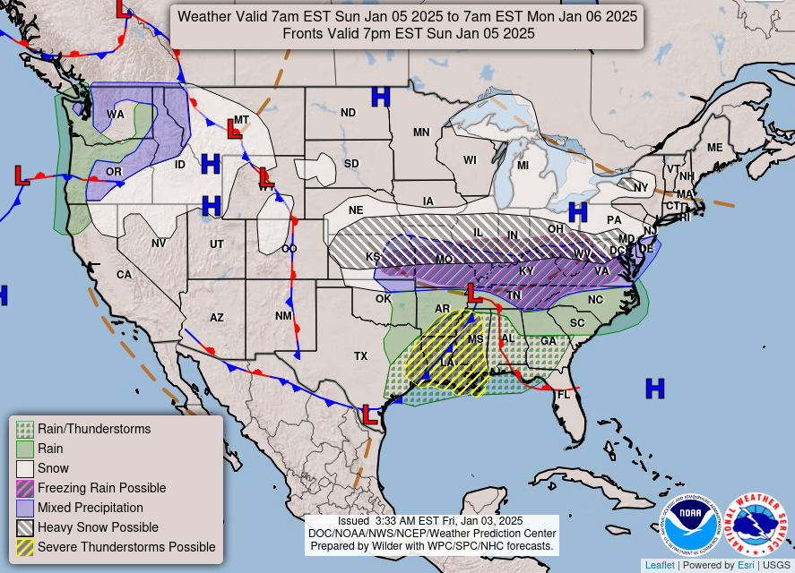
[Top Image: NOAA/WPC]
You can follow me on Twitter or send me an email.
My new book, The Skies Above, comes out on Friday, April 1st! Grab your copy today and learn about the wonders of our atmosphere and beyond.

