Bud Could Bring Rain to the Parched Desert Southwest This Weekend

The remains of tropical cyclones that have long since kicked the rain bucket are usually headaches for people who already live in areas where the walls drip from the humidity. But that’s not always the case. The remnants of Tropical Storm Bud in the eastern Pacific will bring unusually high moisture to a part of the world that’s absolutely parched. June is historically the driest month of the year in much of the American southwest, but it doesn’t look like that’ll be the case for some this year. Rain—possibly heavy at times—is expected in parts of Arizona, New Mexico, and Colorado as the moisture from Bud moves through the desert southwest this weekend.
The eastern Pacific Ocean has seen two named tropical cyclones this year. Both storms became major hurricanes. Aletta was a picture-perfect category four that twirled harmlessly out to sea late last week. Bud, however, formed much closer to land and wound up making landfall on the Baja California Peninsula on Thursday evening as a weak tropical storm.

Bud, and the mess of atmospheric moisture that succeeds it, will enter northwestern Mexico on Friday, bringing up to four inches of rain to the region’s desert mountains. The moisture will then move into Arizona and New Mexico where an extreme-to-exceptional drought is underway. The moisture will continue north and bring the chance for flash flooding into northern New Mexico and southern Colorado by Sunday.
The latest forecast from the Weather Prediction Center calls for an inch or more of rain as showers and thunderstorms form across the southwest this weekend. The greatest threat for heavy rain is likely to exist in eastern Arizona and western New Mexico, but thunderstorms that pop up and drop heavy rain for any period of time could present a flash flood threat for nearby areas.

These tiny rainfall totals don’t seem like much, but this is the driest month of the year for the southwest and many of these areas are in an extreme or exceptional drought. The entire states of Arizona and New Mexico are mired in some level of drought, and more than half of each state is in the drought monitor‘s worst two categories.

The drought adds insult to injury when you take into account the fact that these regions see virtually no rainfall during the month of June. Annual rainfall totals in cities like Phoenix and Tucson almost completely level out during the months of May and June before monsoon season kicks in a few weeks into July.
Dumping heavy rain on arid ground that’s even more dessicated due to drought is a recipe for flash flooding. Areas that see heavy rainfall—even just a little bit—could deal with flash flooding in urban areas as well as dry rivers (arroyos). Arroyos are popular among hikers and can be especially deadly when there’s heavy rain upstream since the flash flood can travel many miles away from the storm into areas where the sky shows no sign of danger.
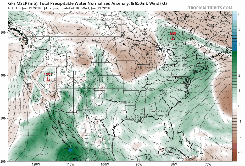
You can follow the plume of atmospheric moisture from ex-Bud on weather models by looking at precipitable water, or PWAT for short. The above animation shows the GFS model’s guidance for PWAT normalized anomalies through Sunday afternoon.
Imagine a column of the atmosphere right above your house that extends from the surface straight up to the top of the atmosphere above you. PWAT measures moisture by telling you how much rain would fall if you were to wring out every bit of water vapor in the atmosphere above you. A PWAT of 1.51″ means that if all the moisture present above your house fell as rain, you’d have 1.51″ in your rain gauge.
Higher values indicate higher moisture and a greater chance for heavy rain. A high region of PWAT is the reservoir that thunderstorms can tap to produce excessive rainfall. The normal range for PWAT values for any one location varies—low moisture over Miami, for instance, might represent record-breaking moisture levels in Phoenix.
The GFS model shows a PWAT value over Tucson, Arizona, of 1.45″ around 6:00 PM MDT on Friday and 1.35″ at 6:00 AM on Saturday. These values, while common in June just about anywhere east of the Rockies, would smash daily PWAT records at Tucson dating back to 1951. The above model loop shows how PWAT values over the southwest could be as high as five standard deviations above normal as ex-Bud moves through.
Once the remnants of Bud are gone, the region should go back to its characteristically hot and dry weather for at least a few more weeks. Monsoon season usually starts around the second or third week of July.
[Satellite: RAMMB/CIRA | Model Loop: Tropical Tidbits | Maps/Chart: Dennis Mersereau]

