
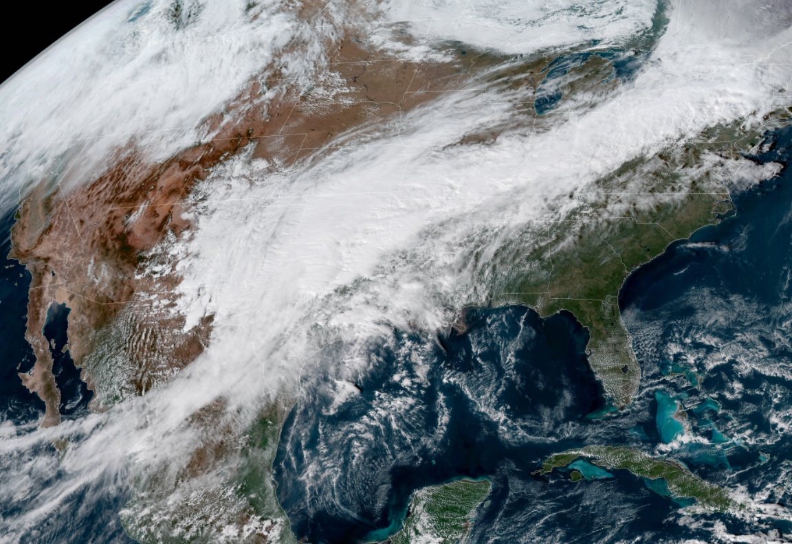
A potent storm system moving through the southern United States today will trigger severe thunderstorms as the evening hours wear on. The environment ahead of the low-pressure system will allow some of those thunderstorms to spawn tornadoes, a few of which could be strong or long-tracked. Any threat for severe weather is a big deal at night, but especially today due to people going out for Halloween.

I wrote about the broader weather setup over at my blog on Forbes early this morning. A low-pressure system developing over the central south will trigger severe thunderstorms in the warm, unstable air over the stretch of land between central Texas and Mississippi. As we see so many times during severe weather, the threat will occur in two stages. The most dangerous storms are the discrete cells that form in the unstable airmass over eastern Texas, Louisiana, and Mississippi this evening and tonight. A line of thunderstorms will follow soon after as the cold front pushes into the region. The threat for severe weather will cease once the cold front moves through.
A tornado watch was in effect across eastern Texas and parts of Oklahoma, Arkansas, and Louisiana as of the publication of this post. Some tornadic storms are already popping up west of Houston. This activity will increase and spread east as the evening wears on.
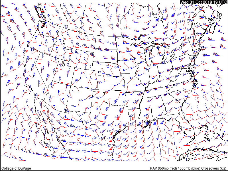 |
| Source: COD |
The above chart shows the crossover between winds at the 850mb level (the red barbs, around 5,000 ft) and the 500mb level (the blue barbs, around 18,000 ft). The wide angle of the crossover between lower-level and upper-level winds across eastern Texas, Louisiana, and Mississippi, is a sign that storms that form there may turn into supercells capable of producing tornadoes, damaging winds, and large hail. Damaging winds are the greatest threat from any lines of storms that develop.

This afternoon’s update from the Storm Prediction Center paints parts of eastern Texas, Louisiana, and southwestern Mississippi under a 10% risk for tornadoes. The 10% risk zone includes Houston, Shreveport, Baton Rouge, and Jackson. A 10% risk doesn’t seem like much, but that’s pretty high all things considered. The black hatching on the map above is where forecasters believe the environment is favorable enough for some of those tornadoes to be strong and have long tracks.
Tornadoes at night are dangerous no matter what, but it’s even worse when the nocturnal tornadoes occur in late October—when a lot of people don’t necessarily expect tornadoes—and when people will be out trick-or-treating or attending Halloween parties. The risk for severe weather will transition shift toward the northern Gulf Coast on Thursday and move through the rest of the southeast on Friday.
Please pay close attention to weather radar and listen for watches and warnings through the evening and overnight hours. Make sure emergency weather alerts on your phone are activated in case a tornado warning is issued when you’re asleep.
Please consider subscribing to my Patreon. Reader-funded news is more important than ever and your support helps fund engaging, hype-free weather coverage.