Two Feet Of Snow Is Possible In North Dakota As The Season’s First Cold Air Arrives
A major winter storm could bring several feet of snow to the northern Plains over the next couple of days, bringing the first widespread shot of winter to much of the continental United States. Temperatures are falling like a rock behind the developing storm, dropping as much as 30°F in just a couple of hours. The chill will continue to sag south through the weekend, eventually reaching the Mississippi River before it starts to taper off.

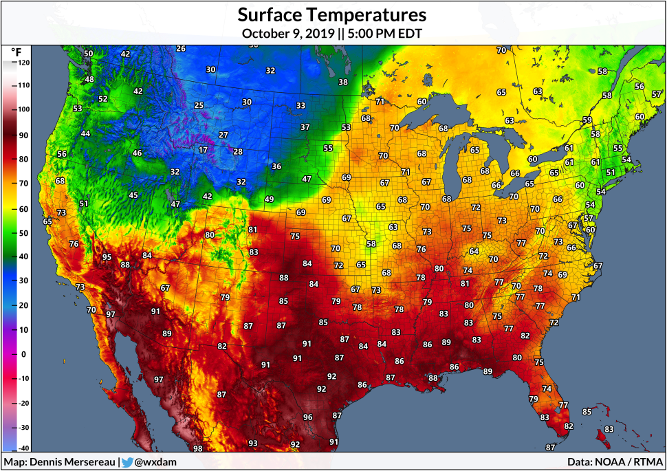
A strong upper-level low swinging across the northern Rockies is to blame for this early-season taste of winter. A cold front moving across the Rockies on Wednesday sent temperatures falling off a cliff through the afternoon hours. Take a look at these temperature drops on the Front Range as the cold front swept through:
 |
| Chart: me | Source: Iowa State/IEM |
Denver fell from 82°F to 47°F in just four hours on Wednesday afternoon. Cheyenne, Wyoming, saw an equally impressive drop, falling from 70°F to 38°F between 1:00 PM and 5:00 PM on Wednesday. The cold front sent temperatures plummeting from 80°F to 45°F in just three hours in Fort Collins, Colorado.

The cold air will continue to spread across the Plains on Thursday and Friday, eventually crossing the Mississippi River this weekend as a weaker (but still much cooler) burst of fall chilliness. The animation above shows the National Weather Service’s forecast low temperatures between Thursday and next Monday. Low temperatures could reach the upper 30s as far south and east as the Tennessee River Valley.
Such an intense blast of early-season cold is almost always followed by snow somewhere, and it’s going to get cranking in a hurry.

Above is the National Weather Service’s snowfall forecast as of Wednesday evening, stretching through Saturday night. These forecasts were generated by individual NWS offices, so some of the borders and gradients may look a little bit wonky.
Overall, the latest forecasts show more than a foot of snow falling on a significant portion of North Dakota and South Dakota, with the greatest totals likely throughout central North Dakota where totals could easily exceed two feet. The highest totals are likely closer to the Canadian border.
Snow is already underway along the Front Range as I write this post late Wednesday night—including reports of thundersnow!—and the snow will continue spreading toward the Dakotas through the day on Thursday. Snow should slow down in North Dakota on Friday night, coming to an end on Saturday morning as the storm system pulls away from the area.
Now, about Canada. I know quite a few of you live in Canada or have family and friends up there. Every time we have a major weather event near the northern border, I get emails/tweets asking me why we discriminate against our polite neighbors.
There are a few reasons most American weather maps stop at the border. It’s a sovereignty issue, for one, given that official American government forecasts could clash with an official Canadian government forecasts. The second is that NWS offices can only forecast for their area of responsibility—their forecasts come to a hard stop at a county border, let alone the dividing line between the U.S. and Canada.

Thankfully, snow is one of those events where we can look at products issued by NOAA’s Weather Prediction Center, which actually do transcend international borders. The forecast is a little different from how local NWS offices arrive at their numbers, but it’s usually close enough to give us a good regional overview.
The two-foot snow totals will extend deep into southern Manitoba, not too far from the Winnipeg metro area, which is home to about 800,000 people. The city could see more than a foot of snow if the forecasts verify. That much snow is more than enough to mess things up for a day since it’s the first snow of the season and, no matter how used to it you are, that much snow is tough to deal with.
Please consider subscribing to my Patreon. Your support helps me write engaging, hype-free weather coverage—no fretting over ad revenue, no chasing viral clicks. Just the weather.

