Skip to content
DAMWeather DAMWeather DAMWeather

The weather can get scary. Reporting on it doesn't have to be.

DAMWeather DAMWeather DAMWeather

The weather can get scary. Reporting on it doesn't have to be.

  • About Me
  • All Bylines
    • Books, Bylines, and Press
    • The Skies Above (Book)
    • Extreme Weather (Book)
    • The Weather Network
    • The Vane
    • Forbes
    • Capital Weather Gang
    • Mental Floss
  • Maps
    • Hurricane Maps
    • Hurricane Names
    • Monthly Tornadoes
    • Tornado Tracks
    • F5/EF-5 Tornadoes
    • SPC High Risk Days
  • GIS Resources
  • Contact Me
    • Bluesky
    • Facebook
    • Instagram
  • wxdam.com

Tropical Downpours Could Lead To Flash Flooding In Parts Of The Southeast This Week

By Dennis Mersereau
June 5, 2019 3 Min Read

Heavy downpours could lead to localized flash flooding across parts of the southeastern United States this week as a deep plume of tropical moisture spreads over the region. Forecasts on Tuesday night called for a widespread drenching across the southeast through early next week, with some areas potentially seeing more than five inches of rain by the end of the period.

Last week, we started watching a tropical disturbance in the Bay of Campeche for signs of tropical development. The National Hurricane Center had given the system a 60 percent chance of developing into a tropical system at its beefiest, but the disturbance was never able to take root and grow. The disturbance ran out of room to develop on Tuesday as it approached eastern Mexico.

Source: Tropical Tidbits

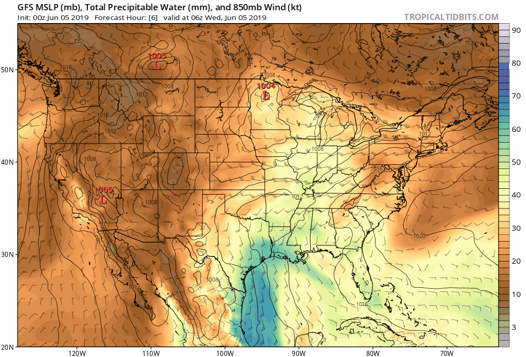
Nothing ever really goes away in the weather, of course. Even though the soon-to-be-erstwhile disturbance is no longer a thing of interest on weather maps, the remnant moisture from the system will continue spreading across the southeast. The above chart from Tuesday night’s run of the GFS model shows precipitable water (PWAT) values through the weekend.

Precipitable water is a great way to visualize how much moisture shower and thunderstorms can work with. PWAT tells us how much rain would fall if you could wring all the moisture out of that part of the atmosphere. Higher PWAT values indicate a greater potential for showers and thunderstorms to produce heavy downpours that could lead to flooding. A PWAT value over 2.00″ is considered delightfully soupy and tropical, a ripe environment for drenching rains.
As a result of all that evaporated paradise moving over land, it won’t be hard for a hefty thunderstorm to put down a quick inch or two of rain if it sits over one spot for too long. It’s important to note that not everybody covered under, say, the five-inch rainfall contour in the Weather Prediction Center‘s forecast will definitely see five inches of rain. Storms are hit-or-miss during the summer. Most everyone will see rain, but some could see a whole lot more than others.

Stay alert for flash flood watches and warnings over the next couple of days. It’s always wise to memorize or program multiple safe routes to get home, to work, or wherever you need to go, just in case your normal route is covered in water and you need to turn around. It only takes a few inches of moving water to pick up a vehicle and carry it away, and it’s impossible to tell how much water is covering a roadway—or if the road is even still there under the water.


You can follow me on Twitter or send me an email.

Please consider subscribing to my Patreon. Your support helps me write engaging, hype-free weather coverage—no fretting over ad revenue, no chasing viral clicks. Just the weather.
 

Author

Dennis Mersereau

I have 15+ of experience providing hype-free weather information for folks across the United States and around the world. In addition to DAMWeather, I also contribute to The Weather Network as a digital writer and weather specialist.

Follow Me
Other Articles
Previous

Strong, Long-Track Tornadoes Possible in Okla., Kansas, and Missouri on Wednesday

Next

A Rare Tornado Hit A Small Town In Northern Canada, One Of Only 4 Recorded So Far North


Local ◈ UTC
Facebook | Bluesky
Instagram | Threads | Email
DAMWeather is now ad-free! Everyone benefits from engaging, hype-free weather coverage. Please consider supporting my efforts through Patreon:


Order The Skies Above today!

Bookshop.org || Barnes & Noble
Mountaineers Books || Amazon

My latest book, The Skies Above, is now available!

Did you know a puffy cloud can weigh millions of pounds? Or that every rainbow you see is unique to you?

Our atmosphere is full of spectacular sights that are always within your reach. Glistening layers of fog, gorgeous sunsets, and brilliant meteors flashing through the sky can light up even the calmest day.

The Skies Above, published by Mountaineers Books, is a celebration of what we overlook when we look up. I was thrilled to work with the editors and illustrators at Indelible Editions to share with you the quotidian beauty of our sky.

Order your copy now and learn about the wonders we take for granted every day.

I teamed up with the editors of Outdoor Life magazine to write The Extreme Weather Survival Manual, your guide to surviving and thriving in almost any weather condition. Whether you're an avid outdoorsperson or you enjoy watching the radar from the comfort of your home, you're sure to find helpful tips, advice, and new bits of knowledge in this fascinating book.

You can buy my book today through Amazon.
An error has occurred, which probably means the feed is down. Try again later.
  • 2026 (30)
  • 2025 (49)
  • 2024 (59)
  • 2023 (43)
  • 2022 (57)
  • 2021 (71)
  • 2020 (83)
  • 2019 (88)
  • 2018 (92)
  • 2017 (1)
  • 2016 (4)
  • 2015 (10)

Copyright 2026 — DAMWeather. All rights reserved. Blogsy WordPress Theme