Claudette Strengthened Into A Tropical Storm Over Land—Twice

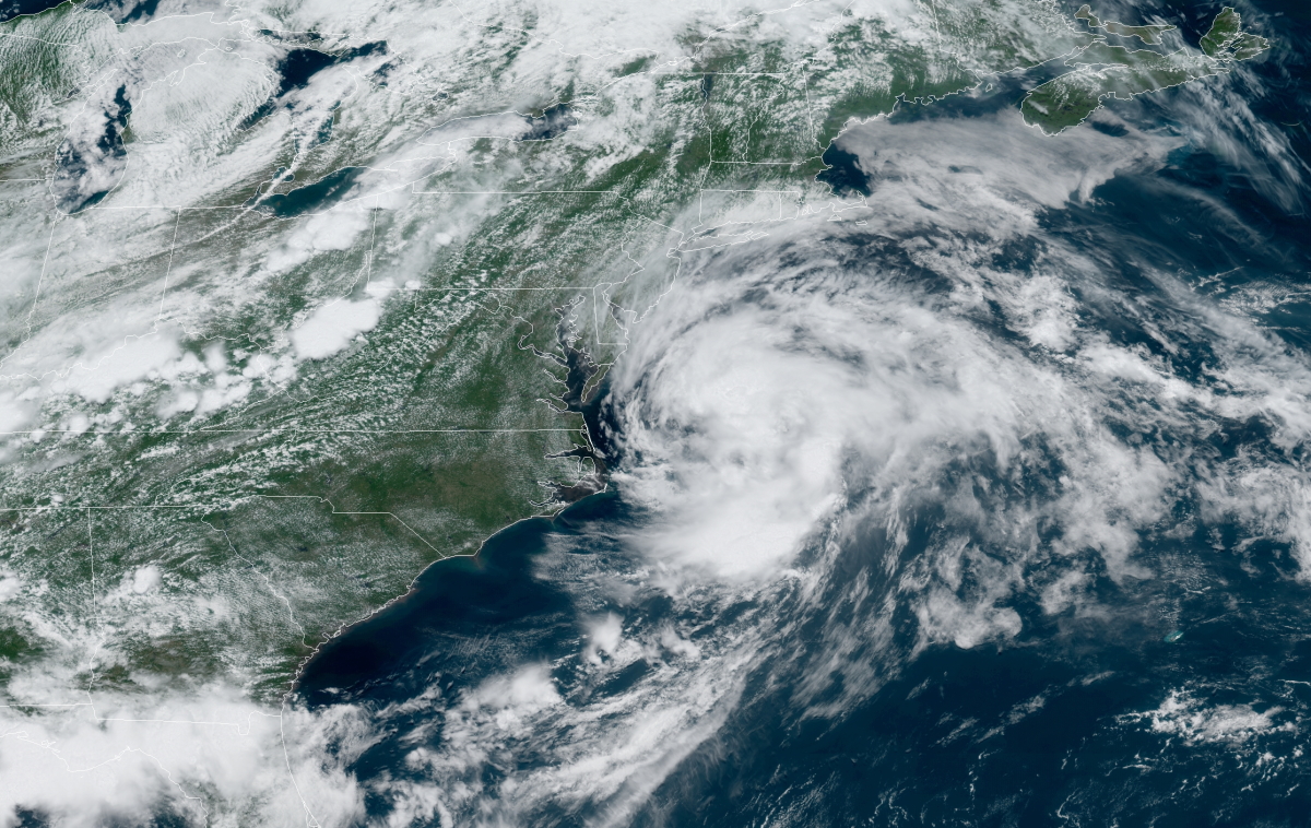
Claudette’s Journey

Lows Don’t Fit Your Silly Labels
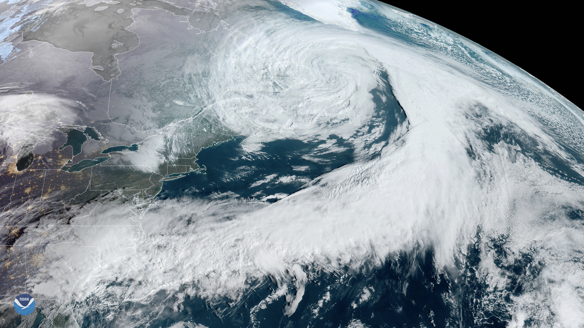 |
| A large extratropical cyclone swirls over the northern Atlantic in March 2020. (Source: NOAA) |
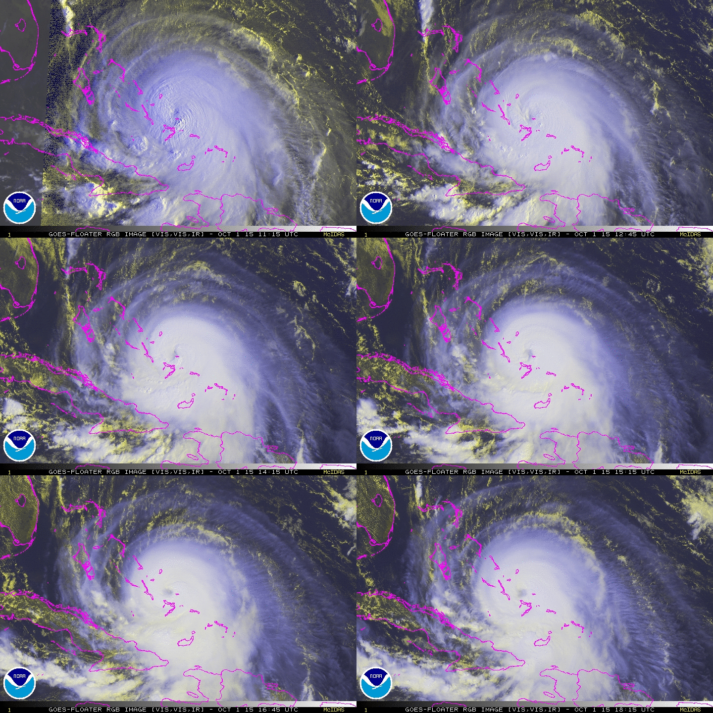 |
| Hurricane Joaquin in 2015 (Source: NOAA) |
Claudette the Land-Dweller
The system that we have been tracking for a few days finally has enough of a well-defined center and organized convection to be considered a tropical storm. While the organization is not classical by any means, and there are some hybrid characteristics, the cyclone most resembles a sheared tropical storm, so the system is now Tropical Storm Claudette.
The elongated low-level center of Claudette is located over eastern North Carolina this morning, while a curved band of convection continues pushing eastward across the adjacent coastal and offshore waters. Surface pressures have fallen slightly overnight near the estimated center position, and Frying Pan Shoals buoy 41013 off the coast of southeastern North Carolina reported a brief period of sustained tropical-storm-force winds shortly after 06 UTC. Therefore, Claudette’s initial intensity is raised to 35 kt with this advisory, making it a tropical storm once again.
Please consider subscribing to my Patreon. Your support helps me write engaging, hype-free weather coverage—no fretting over ad revenue, no chasing viral clicks. Just the weather.