Season’s First Big Snowstorm Set To Hit Northern U.S. Plains, Canadian Prairies
It was a sunny 77°F here in beautiful central North Carolina today, and we’re staring down the season’s first major winter storm up north. (Sorry.)
Some areas are on track for legitimate blizzard conditions once the snow arrives on Thursday and Friday. The heaviest accumulations will fall near and north of the border, where some areas are on track to see double-digit snowfall totals by the end of the storm on Friday.
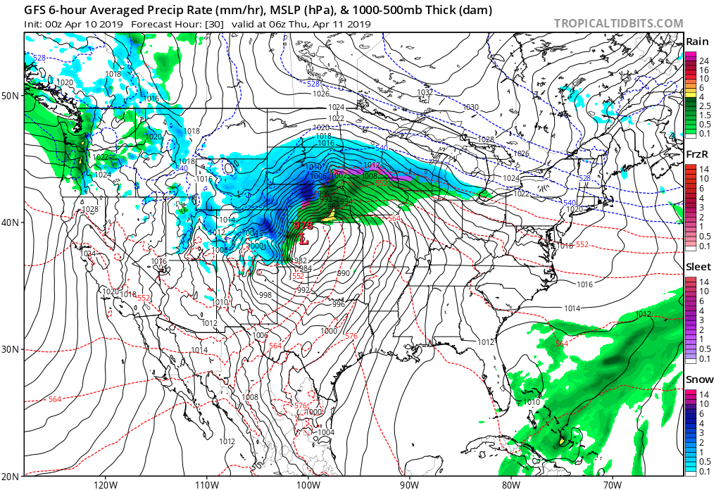
The impending winter storm is winding up this evening as a low-pressure system moves into the Upper Midwest. The system will strengthen in a hurry as it treks into Minnesota during the day on Thursday, producing heavy snow on the cold side of the low and heavy rain on the warm side to its south.
For areas expecting snow, conditions will deteriorate during the day on Thursday and likely peak in intensity Thursday night into Friday morning. Precipitation will taper off through the day on Friday as the system weakens and pulls out of the region.

The best chance for shovelable snow will follow close to the U.S./Canadian border, where some communities straddling the international line could see as much as a foot of snow by the end of the storm. Farther south, a few inches of snow is possible throughout much of eastern North Dakota and western Minnesota, with the chance for a dusting pushing into the Minneapolis/St. Paul area.
My map uses the National Weather Service’s snowfall forecast as of Wednesday night, which is why Canada is sadly excluded from all the fun. The Weather Network calls for a widespread swath of 8-16 inches of snow across southern Manitoba and northern Ontario. (Full disclosure—I occasionally contribute to TWN.)
Gusty winds are going to be a problem, as well. High wind warnings and wind advisories are in effect for much of the northern Plains as winds could gust 60+ MPH during the height of the storm. The combination of high winds and accumulating snow could lead to a period of blizzard conditions in northeastern South Dakota overnight Thursday into Friday.
[Model Image: Tropical Tidbits]
You can follow me on Twitter or send me an email.
Please consider subscribing to my Patreon. Your support helps me write engaging, hype-free weather coverage—no fretting over ad revenue, no chasing viral clicks. Just the weather.

