Skip to content
DAMWeather DAMWeather DAMWeather

The weather can get scary. Reporting on it doesn't have to be.

DAMWeather DAMWeather DAMWeather

The weather can get scary. Reporting on it doesn't have to be.

  • About Me
  • All Bylines
    • Books, Bylines, and Press
    • The Skies Above (Book)
    • Extreme Weather (Book)
    • The Weather Network
    • The Vane
    • Forbes
    • Capital Weather Gang
    • Mental Floss
  • Maps
    • Hurricane Maps
    • Hurricane Names
    • Monthly Tornadoes
    • Tornado Tracks
    • F5/EF-5 Tornadoes
    • SPC High Risk Days
  • GIS Resources
  • Contact Me
    • Bluesky
    • Facebook
    • Instagram
  • wxdam.com

Maps: Days of severe weather hammer the U.S., historic flooding continues

By Dennis Mersereau
April 6, 2025 3 Min Read

Days and days of severe weather hammering the central United States have taken a toll. We’ve seen severe storms every day since March 29, with most of those days featuring an enhanced (level 3/5) risk for severe weather or higher. 
Here are a few maps highlighting the wild weather we’ve seen over the past week and a half.

A powerful ridge of high pressure over the southeastern U.S. sent temperatures soaring into the upper 80s throughout the region. We peaked at 88°F here in Reidsville, N.C., on Friday afternoon.
A stationary boundary on the outer periphery of that ridge served as the focus for repeated rounds of severe thunderstorms and torrential rains.

Over the past 10 days, more than a foot of rain has fallen across a wide swath of land from central Arkansas through northern Kentucky. 

A gauge near Benton, Kentucky, measured 15.59 inches of rain between 9:00 a.m. April 2 and 9:00 a.m. April 6. The airport in Little Rock, Arkansas, recorded just under a foot of rain over the same period.
This led to widespread major flooding across waterways throughout the region, with some flood gauges recording all-time high water levels.

Damaging winds, tornadoes, and large hail were also a major concern. We’ve seen more than 500 tornado warnings issued between March 29 and April 6, the vast majority of which unfolded across the Mississippi and Ohio River valleys.

It’s going to be a while before we know the tornado count or extent of damage across the region, but several EF-3+ tornadoes occurred—especially in Tennessee and northeastern Arkansas. 
During that time period, the Storm Prediction Center received 1,987 reports of severe winds or wind damage, 391 reports of large hail, and 158 tornado reports. It’s worth keeping in mind that there weren’t 158 tornadoes—many tornado reports can come in for the same storm.
Here’s a graphic I created for The Weather Network on Saturday to highlight the persistent risk for severe weather over the past eight days:

Things will start to quiet down heading into next week as the stubborn pattern finally releases its grip and calmer conditions prevail across the eastern two-thirds of the country.
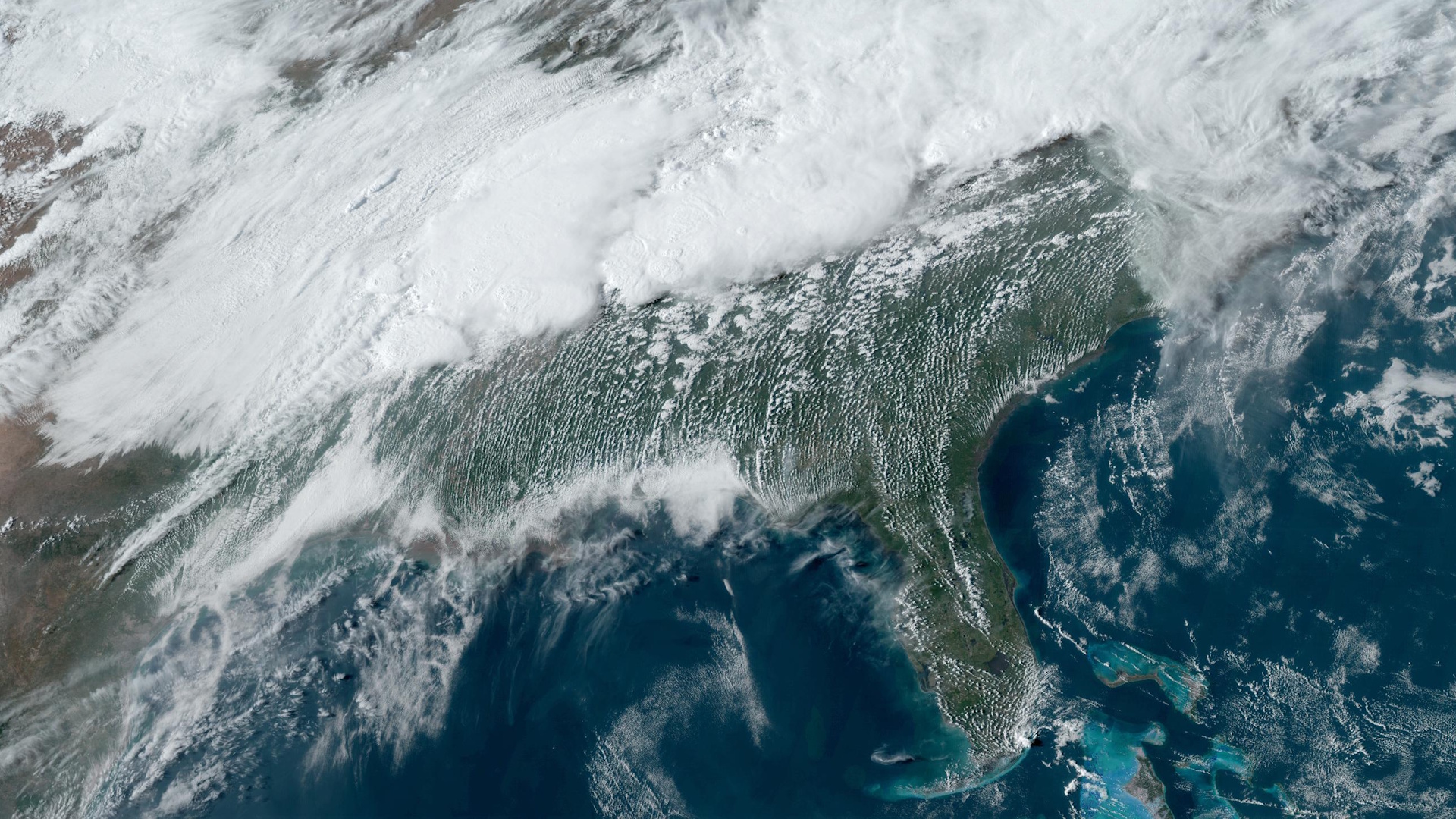
[Satellite image courtesy of NOAA.]


Follow me on Facebook | Bluesky | Instagram

Get in touch! Send me an email.

Please consider subscribing to my Patreon. Your support helps me write engaging, hype-free weather coverage—no fretting over ad revenue, no chasing viral clicks. Just the weather.


Author

Dennis Mersereau

I have 15+ of experience providing hype-free weather information for folks across the United States and around the world. In addition to DAMWeather, I also contribute to The Weather Network as a digital writer and weather specialist.

Follow Me
Other Articles
Previous

Severe weather deja vu in the central U.S. brings a major flood risk

Next

Tornado outbreak possible in the Midwest on Monday


Local ◈ UTC
Facebook | Bluesky
Instagram | Threads | Email
DAMWeather is now ad-free! Everyone benefits from engaging, hype-free weather coverage. Please consider supporting my efforts through Patreon:


Order The Skies Above today!

Bookshop.org || Barnes & Noble
Mountaineers Books || Amazon

My latest book, The Skies Above, is now available!

Did you know a puffy cloud can weigh millions of pounds? Or that every rainbow you see is unique to you?

Our atmosphere is full of spectacular sights that are always within your reach. Glistening layers of fog, gorgeous sunsets, and brilliant meteors flashing through the sky can light up even the calmest day.

The Skies Above, published by Mountaineers Books, is a celebration of what we overlook when we look up. I was thrilled to work with the editors and illustrators at Indelible Editions to share with you the quotidian beauty of our sky.

Order your copy now and learn about the wonders we take for granted every day.

I teamed up with the editors of Outdoor Life magazine to write The Extreme Weather Survival Manual, your guide to surviving and thriving in almost any weather condition. Whether you're an avid outdoorsperson or you enjoy watching the radar from the comfort of your home, you're sure to find helpful tips, advice, and new bits of knowledge in this fascinating book.

You can buy my book today through Amazon.
An error has occurred, which probably means the feed is down. Try again later.
  • 2026 (31)
  • 2025 (49)
  • 2024 (59)
  • 2023 (43)
  • 2022 (57)
  • 2021 (71)
  • 2020 (83)
  • 2019 (88)
  • 2018 (92)
  • 2017 (1)
  • 2016 (4)
  • 2015 (10)

Copyright 2026 — DAMWeather. All rights reserved. Blogsy WordPress Theme