Skip to content
DAMWeather DAMWeather

The weather can get scary. Reporting on it doesn't have to be.

DAMWeather DAMWeather

The weather can get scary. Reporting on it doesn't have to be.

  • About Me
  • All Bylines
    • Books, Bylines, and Press
    • The Skies Above (Book)
    • Extreme Weather (Book)
    • The Weather Network
    • The Vane
    • Forbes
    • Capital Weather Gang
    • Mental Floss
  • Maps
    • Hurricane Maps
    • Hurricane Names
    • Monthly Tornadoes
    • Tornado Tracks
    • F5/EF-5 Tornadoes
    • SPC High Risk Days
  • GIS Resources
  • Contact Me
    • Bluesky
    • Facebook
    • Instagram
  • wxdam.com

A few spots in the U.S. are running ahead of snow averages as we hid mid-December

By Dennis Mersereau
December 10, 2025 3 Min Read

It’s been a strong start to winter for a large chunk of the eastern United States as repeated intrusions of Arctic air dip across the region.

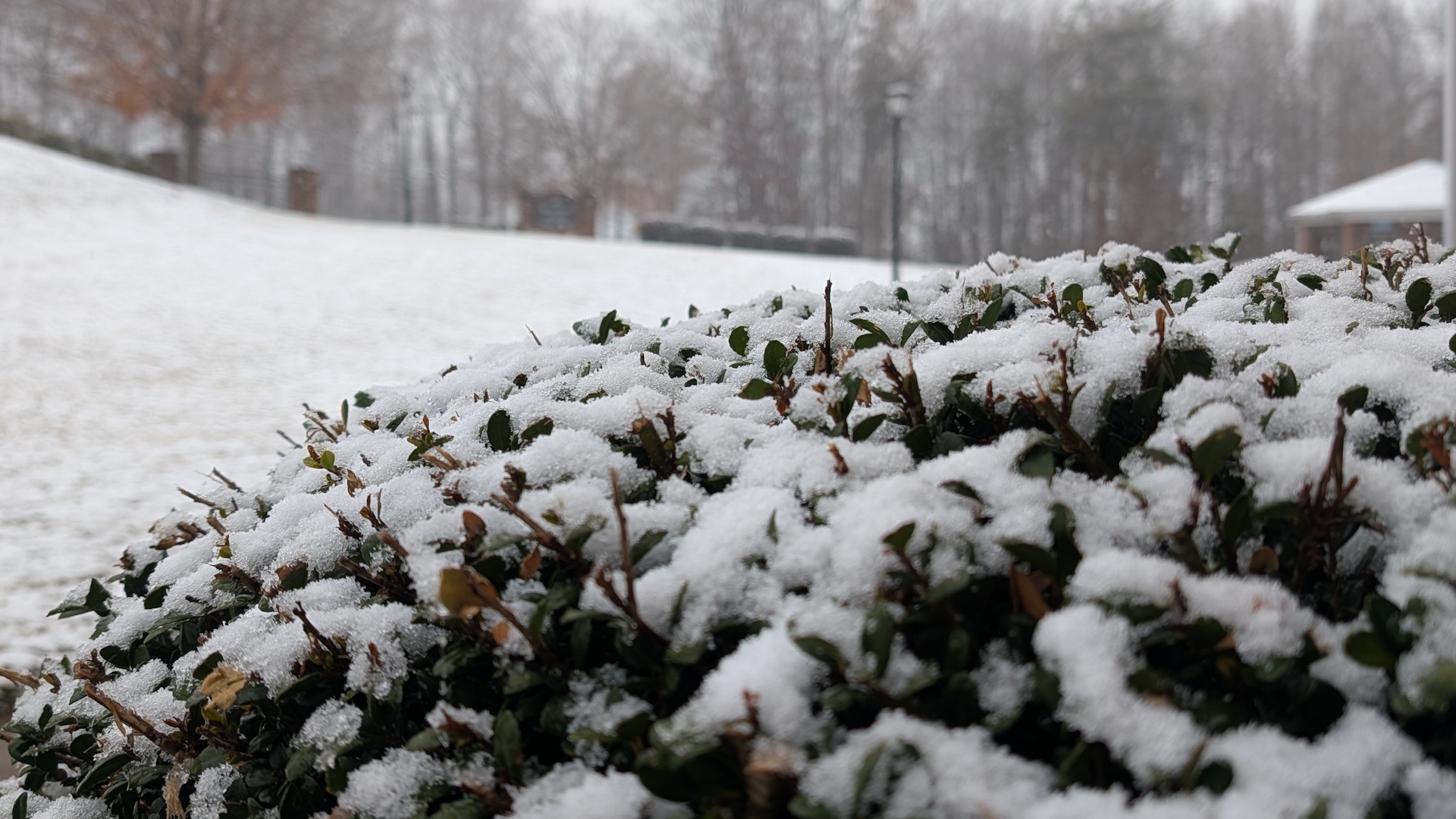
Temperatures for many areas have been running significantly behind normal since around Thanksgiving, providing plenty of opportunities for ample snow when a moisture-laden system develops. 

A quick look at the National Weather Service’s seasonal snowfall analysis through this morning (December 10) shows that a significant chunk of the contiguous United States has already seen some accumulating snow so far this season. “Accumulating snow” counts as at least 0.1 inches or more. 
Aside from the West Coast, the Southeast, and random counties on the Plains, the most conspicuous clear spot exists from southern New Jersey up the coast through Cape Cod.
Atlantic City, New York’s Central Park, and Boston’s Logan Airport have all only reported a “trace” of snow this year, which means that it snowed but didn’t stick to the ground. 

We’ve been seeing the snow come down elsewhere. Persistent bursts of cool air moving over the relatively warm lakes have switched on the lake-effect snow machine for the traditional snowbelt communities downwind from the Great Lakes.
Several major winter storms have also traversed the Midwest and Great Lakes, which have padded seasonal snowfall totals throughout the region.
Chicago’s O’Hare Airport has picked up 17.2 inches of snow this season, which far outpaces the 4.2 inches you’d expect to see by December 10th. Detroit has seen 10.9 inches of snow, going above and beyond the 4.1 inches they’d normally pick up through this point in the season.
This year’s favorable pattern for snow in the east is due in large part to ridges of high pressure setting up over the western half of North America. We can see this pattern reflected in the region’s seasonal snowfall totals.
Colorado Springs has only seen 5.2 inches of snow this year, which is down from their typical 8.4 inches by this point in December. Folks in Boise have only seen a mere dusting of snow when they’d normally have seen 3.5 inches by now.

The latest forecast from the Climate Prediction Center continues to show below-average temperatures favored across the Upper Midwest and the Great Lakes, which could further add to the region’s snowfall totals, with above-average temperatures dominating much of the rest of the U.S. through the end of the month.


Follow me on Facebook | Bluesky | Instagram

Get in touch! Send me an email.

Please consider subscribing to my Patreon. Your support helps me write engaging, hype-free weather coverage—no fretting over ad revenue, no chasing viral clicks. Just the weather.


Author

Dennis Mersereau

I have 15+ of experience providing hype-free weather information for folks across the United States and around the world. In addition to DAMWeather, I also contribute to The Weather Network as a digital writer and weather specialist.

Follow Me
Other Articles
Previous

The Midwest’s first widespread winter storm arrives this weekend

Next

Weather research is a lifesaving effort. Don’t let Trump’s team destroy it.


Local ◈ UTC
Facebook | Bluesky
Instagram | Threads | Email
DAMWeather is now ad-free! Everyone benefits from engaging, hype-free weather coverage. Please consider supporting my efforts through Patreon:


Order The Skies Above today!

Bookshop.org || Barnes & Noble
Mountaineers Books || Amazon

My latest book, The Skies Above, is now available!

Did you know a puffy cloud can weigh millions of pounds? Or that every rainbow you see is unique to you?

Our atmosphere is full of spectacular sights that are always within your reach. Glistening layers of fog, gorgeous sunsets, and brilliant meteors flashing through the sky can light up even the calmest day.

The Skies Above, published by Mountaineers Books, is a celebration of what we overlook when we look up. I was thrilled to work with the editors and illustrators at Indelible Editions to share with you the quotidian beauty of our sky.

Order your copy now and learn about the wonders we take for granted every day.

I teamed up with the editors of Outdoor Life magazine to write The Extreme Weather Survival Manual, your guide to surviving and thriving in almost any weather condition. Whether you're an avid outdoorsperson or you enjoy watching the radar from the comfort of your home, you're sure to find helpful tips, advice, and new bits of knowledge in this fascinating book.

You can buy my book today through Amazon.
An error has occurred, which probably means the feed is down. Try again later.
  • 2026 (30)
  • 2025 (49)
  • 2024 (59)
  • 2023 (43)
  • 2022 (57)
  • 2021 (71)
  • 2020 (83)
  • 2019 (88)
  • 2018 (92)
  • 2017 (1)
  • 2016 (4)
  • 2015 (10)

Copyright 2026 — DAMWeather. All rights reserved. Blogsy WordPress Theme