Power Outages Likely as Intense Winds Blow Across Much of the Eastern U.S. on Sunday

An intense windstorm will rake much of the eastern United States on Sunday as a powerful low-pressure system tracks across the Great Lakes. The storm system in question is part of the same upper-level trough that brought rare winter weather to low elevations in southern California and the desert southwest on Thursday and spawned dangerous severe thunderstorms in the southeast on Saturday. Wind gusts topping 70 MPH in some places could lead to widespread power outages and tree damage.
Blizzard warnings supplant some of the wind advisories to the west of where the alerts on this map stop, including in the northwestern part of Michigan’s Lower Peninsula, as well as parts of Iowa, Minnesota, and Wisconsin.
 |
| Source: Tropical Tidbits |
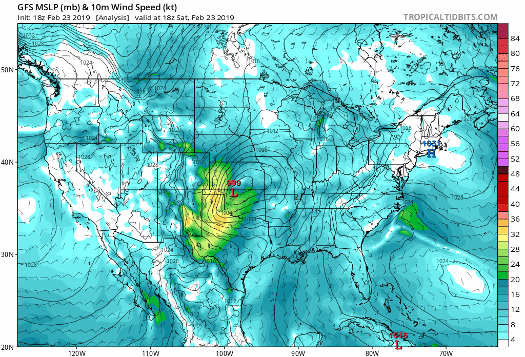
Bombogenesis occurs when the minimum central pressure in a cyclone drops by 24 millibars or more in 24 hours. The low had a minimum pressure of 994 mb as it moved over eastern Iowa at 10:00 PM EST on Saturday. By Sunday afternoon, the low will be near the Great Lakes with a minimum pressure of about 975 mb, which represents a 26 mb drop in 24 hours.
ALONG THE LAKE ERIE SHORE…LAKESHORE FLOODING IS EXPECTED, AND THIS IS LIKELY TO BE A HIGH END EVENT. GUIDANCE SUGGESTS THE WATER LEVEL AT BUFFALO MAY EXCEED 11 FEET ABOVE LOW WATER DATUM. THE WILDCARD IS HOW MUCH THE LAKE ICE WILL RESTRICT THE SEICHE. DURING A MODEST WIND EVENT A FEW DAYS AGO, SATELLITE IMAGERY SHOWED THE ICE ON LAKE ERIE MOVING, SUGGESTING IT IS NOT FAST ICE AND THE WIND WILL BE ABLE TO MOVE THE WATER AND ICE SIGNIFICANTLY.
AS A RESULT, THIS MAY IMPACT SOME LOCATIONS WHICH ARE NOT
TYPICALLY IMPACTED. FOR REFERENCE, WARNING CRITERIA IS 8 FT. IF
THE WATER LEVEL AT BUFFALO EXCEEDS 10 FEET ABOVE LOW WATER
DATUM, FLOODING MAY OCCUR AT CANALSIDE AND IN THE OLD FIRST WARD SECTION OF BUFFALO.IN ADDITION, RISES WILL BREAK UP ICE IN PLACE ON THE LAKE, AND THIS WILL GET PUSHED ONTO SHORELINE AREAS LIKELY CAUSING DAMAGE TO THE IMMEDIATE LAKESHORE, INCLUDING THE BUFFALO HARBOR AND BUFFALO WATERFRONT. ICE CHUNKS MAY DAMAGE STRUCTURES, AND EVEN GET PUSHED INTO RIVERS AND CREEKS FLOWING INTO LAKE ERIE. ICE WILL ALSO GET PUSHED ACROSS THE NIAGARA RIVER ICE BOOM INTO THE UPPER NIAGARA RIVER LIKELY CAUSING DAMAGE ALONG SHORELINE AREAS OF THE UPPER NIAGARA RIVER.
THE HIGHEST WATER LEVELS WILL BE SUNDAY AFTERNOON AND EARLY SUNDAY EVENING.
Make sure you’ve got batteries and actual flashlights—not just the flashlight feature on your cell phone—as well as some non-perishable, ready-to-eat foods just in case the power goes out for an extended period of time on Sunday. You can keep track of power outages over at PowerOutages.US, a great resource for real-time power outage information across the country.
Please consider subscribing to my Patreon. Reader-funded news is more important than ever and your support helps fund engaging, hype-free weather coverage.

