Here’s How An Intense Derecho Produced 100+ MPH Winds In Iowa On Monday

How Derechos Form
If thunderstorms form close enough together, their cold pools can merge into one entity. This merger causes the thunderstorms to become interconnected, moving and strengthening in unison. The thunderstorms latch on to the leading edge of that cold pool, forming into a line as they begin to race downwind.

The forward motion of the newly-minted line of storms causes their updrafts to tilt backwards, allowing unstable air to get scooped directly into the thunderstorms. This structure allows the storms to consume unstable air without getting choked off by the stable air beneath them.
The radar cross-section above shows the winds throughout the 2011 derecho just as it started to produce 100 MPH straight-line winds. The image is oriented so that southwest is on the left and northeast is on the right. Des Moines is just off-screen to the left. The green colors show wind blowing southwest toward the radar, while the warmer colors show wind blowing northeast away from the radar.

You can see the tilted updraft on radar, clear as day. The cold pool at the surface is lifting up all that unstable air over central Iowa and feeding it right into those storms.

We wind up seeing lots of horizontal and vertical rolling motions within a squall line like this due to friction between the moving air, the calmer air around the storm, and the ground below. It’s kinda like the little whirls that form in a swimming pool when you run your hand through the water.
You can’t really see the horizontal rotation (diagrammed above) on radar, but the vertical rotation shows up as those little curly ends on the edges of squall lines. These curls are known as “bookend vortices.” This storm had a pretty hefty bookend vortex, but it’s hard to see on radar. These features are exceptionally pronounced in some squall lines, like the May 8, 2009, derecho depicted at the very top of this post.

These friction-induced areas of rotation create a feature known as a “rear inflow jet” that feeds air into the front of the storm. It’s the rear inflow jet that creates the powerful straight-line winds in a squall line. The rear inflow jet roars from the back of the storm to the front, getting shoved into the ground by the thunderstorms along the leading edge of the squall line. In stronger squall lines, the abrupt onset of violent winds is partially why people remember these storms so well.
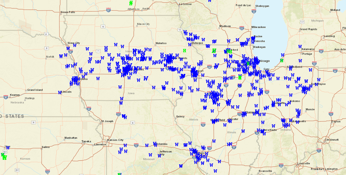
The Evolution Of Monday’s Derecho


Please consider subscribing to my Patreon. Your support helps me write engaging, hype-free weather coverage—no fretting over ad revenue, no chasing viral clicks. Just the weather.

