

Hundreds of thousands of homes and businesses remained without power early Monday after a major snow and ice storm swept across the United States.
Data collected by PowerOutage.US showed more than 800,000 outages continuing across the southern U.S. as of 11:00 a.m. Eastern on Monday, which is down from the peak of about 1,000,000 outages reported midday Sunday.
Most of the outages are concentrated from eastern Texas northeastward through southern Kentucky, where a devastating ice storm unfolded this weekend. Widespread ice accretions of 0.50″+ knocked down countless trees and power lines throughout the region. Several locations in northern Mississippi saw 1.0″ of ice accretion. Tree damage in Oxford, Miss., is in the picture at the top of this post.

Temperatures will fall dangerously low overnight Monday into Tuesday morning. The National Weather Service’s forecast low for Oxford, Miss., is -3°F. Around 75% of residents in Oxford’s home county have no power today.
Luckily, we escaped a similar fate in the Carolinas by the skin of our teeth. Temperatures aloft stayed just a hair too cold for damaging amounts of freezing rain. Most of our precipitation fell as sleet instead, with areas that saw freezing rain not seeing enough to cause significant problems.
That said, some communities in northeastern Georgia and northwestern South Carolina did see up to 0.75″ of freezing rain, which has caused thousands of power outages in that area.

The snowy side of the system largely lived up to its promise, as well.
A swath of 6-12″+ of snow fell from Oklahoma to Maine. Tulsa wound up with 8.7″ of accumulation. Indianapolis ended up with around 10″. Boston’s Logan Airport reported a storm total of 18.7″, making for their largest storm in about four years.
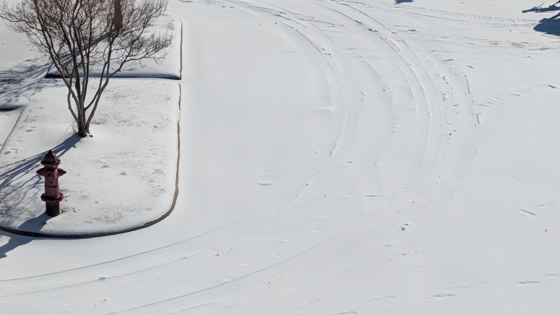
Areas in between the snow and ice saw extensive sleet accumulations. The picture above is what my apartment complex’s parking lot looks like right now in central North Carolina…and it’s what all of our roads look like, as well.
Sleet is dense and freezes into a sheet of glacial ice. This slab of ice is slow to melt and nearly impossible to remove once it freezes solid.
Anyone who saw several inches of accumulating sleet can expect very difficult travel for the next couple of days, as the ice will struggle to melt amid frigid nights and daytime highs barely above freezing.
[Top photo via City of Oxford on Facebook]
Follow me on Facebook | Bluesky | Instagram
Get in touch! Send me an email.
Please consider subscribing to my Patreon. Your support helps me write engaging, hype-free weather coverage—no fretting over ad revenue, no chasing viral clicks. Just the weather.
