Freakishly Warm Temperatures Bathe Much Of U.S. To Begin Sept…uh, December
It’s been a freakishly warm start to December across much of the United States as above-seasonal temperatures wash across the country. Temperatures climbed into the 70s and 80s pretty far north for this time of year, the type of temperature anomaly that’s both pleasant and unsettling this late in the year. While we’re not likely to see such high highs in the coming weeks, it’s going to stay pretty warm heading toward Christmas.
Warmth
It’s been warm lately. 77°F in Oklahoma City. 81°F in Dallas. 78°F in Charlotte. 77°F in Atlanta. These recent highs are more reminiscent of September than December, and it’s all thanks to a beefy upper-level ridge that’s parked over much of the United States.
The same pattern that’s brought us unusually dry and warm weather east of the Rockies has allowed one storm after another to slam into the Pacific Northwest and Western Canada, triggering all sorts of chaos in British Columbia over the past couple of weeks.

The pattern is in the process of breaking…briefly, at least.
A short-lived blast of Arctic air sweeping down from Canada will be our last shot of “real” winter air for a while, it seems. Temperatures will dive below zero up near the border on Monday morning. Meanwhile, it’s nice enough to sleep with the windows open for about half of the country.
Colder air will continue to filter south over the next couple of days before promptly exiting and returning us to above-seasonal temperatures.
La Niña
This kind of a pattern is a hallmark of La Niña winters. A La Niña occurs when the waters of the eastern equatorial Pacific Ocean grow colder than normal for several months at a time. This abnormally cool water can have a huge impact on the atmosphere above, which causes a ripple effect that affects weather patterns over Australia, Asia, and the Americas.
A typical winter would see the polar jet stream snaking around northern and central Canada while a subtropical jet stream moseys across the southern United States. Troughs and ridges in each jet stream bring us the active weather we come to expect during the cold season.
When we’re in a La Niña pattern, though, both the subtropical and the polar jet streams dip south, taking the subtropical jet stream too far south to meaningfully affect U.S. weather. Meanwhile, the polar jet stream amplifies, allowing bigger troughs and ridges to sweep across North America. The end result is a warmer-than-normal pattern across much of the United States, with frosty temperatures across the Pacific Northwest and much of Western Canada.
If you’ve worn shorts in the last couple of days, congratulations: you’ve experienced this first-hand.
Above-Normal Heading Into Christmas

While our shorts-weather days are limited (unless you’re one of those guys who wears basketball shorts all year—admit it), it’s going to stay unseasonably warm for the next couple of weeks.
The Climate Prediction Center‘s latest 8-14 day forecast shows a solid chance for above-normal temperatures for the entire contiguous United States outside of the West Coast.
This map doesn’t show the intensity of the abnormally warm weather, but rather that forecasters are very confident that upper-level ridging will persist east of the Rockies and bring us unusually comfortable weather even as we’re supposed to dive into the heart of winter.
Look on the bright side: it’s great news if you hate snow, I guess!
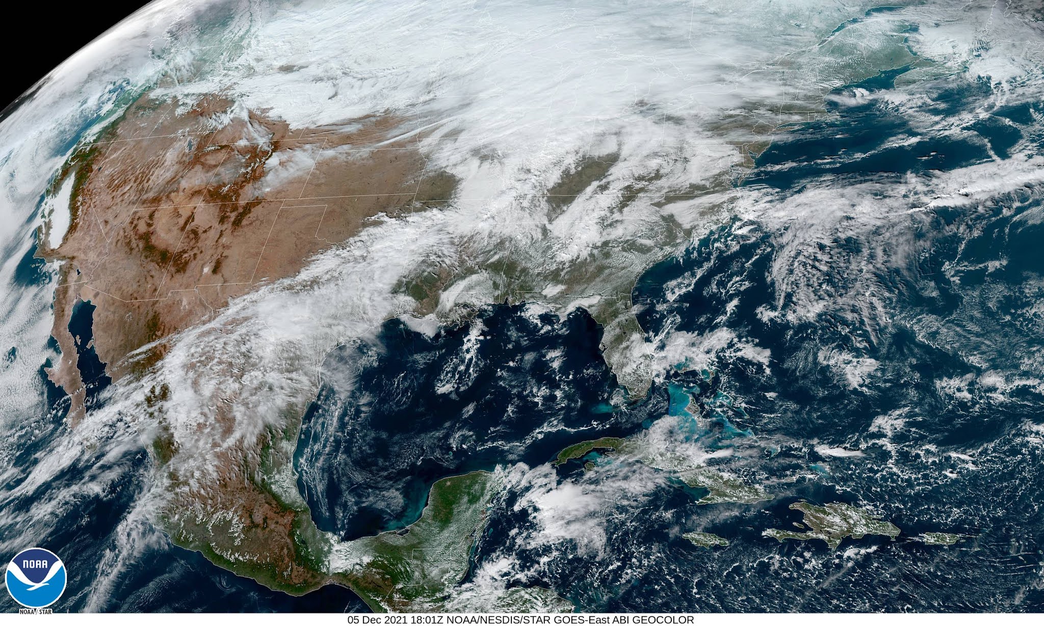
[Satellite Image: NOAA]
You can follow me on Twitter or send me an email.
Please consider subscribing to my Patreon. Your support helps me write engaging, hype-free weather coverage—no fretting over ad revenue, no chasing viral clicks. Just the weather.

