Watch the Atlantic Ocean cool down in Hurricane Erin’s wake
Hurricane Erin is long gone—but its memory lives on in the Atlantic. The storm left noticeably cooler sea surface temperatures in its wake, a testament to the size and power of the hurricane as it moved through the region.
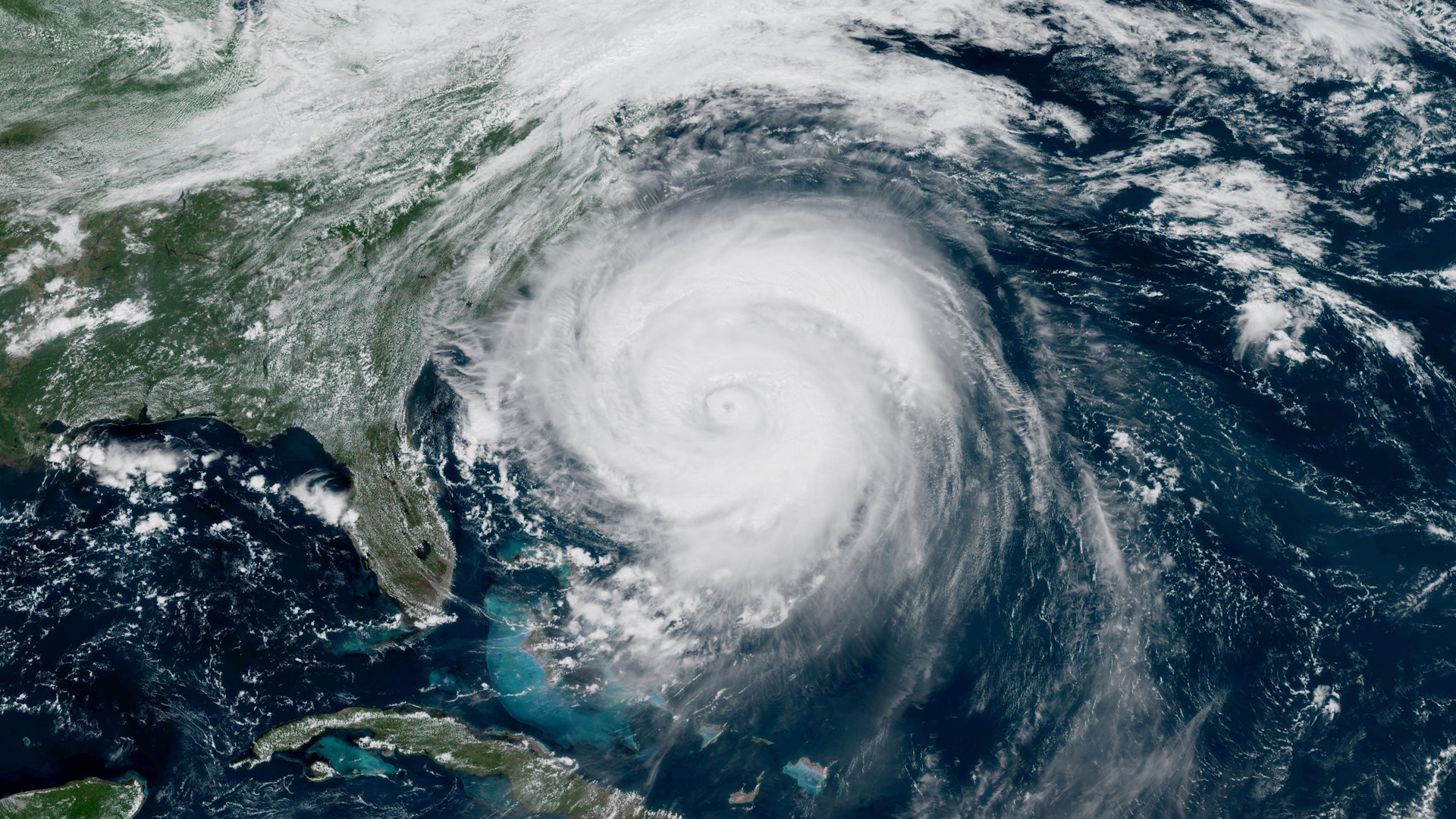
The storm rapidly intensified into a scale-topping Category 5 on Saturday, August 16, as it began a long recurve through the western half of the basin.
Even after it weakened, Erin steadily grew into an unusually large hurricane for the region. The extent of the hurricane’s tropical storm force winds stretched nearly 600 miles across as it passed offshore of North Carolina on Thursday, Aug. 21.
Strong and sizeable hurricanes like Erin churn up the ocean something fierce—evidenced by the intense waves and rip currents felt along the coats as it skirted the U.S. and Canada.
All that churning on the surface induces upwelling of cooler water from deep within the ocean. We can see the results of upwelling in sea surface temperature anomalies.
Here’s what the western Atlantic looked like on Friday, Aug. 15, the day before Erin rapidly intensified into a Category 5 hurricane:

And here’s what those sea surface temperature anomalies looked like by Friday, Aug. 22, after Erin more than doubled in size and recurved out to sea:

That’s quite the difference!
Here’s an animated look at sea surface temperature anomalies each day between Aug. 15 and Aug. 24:

Upwelling left in the wake of passing hurricanes is usually temporary, with sea surface temperatures bouncing back within a few weeks. The phenomenon can rob future storms of the ability to intensify if they happen to pass over the region. This process also plays an important role for the environment, drawing key nutrients from the depths to the surface to replenish the local environment.
Follow me on Facebook | Bluesky | Instagram
Get in touch! Send me an email.
Please consider subscribing to my Patreon. Your support helps me write engaging, hype-free weather coverage—no fretting over ad revenue, no chasing viral clicks. Just the weather.


